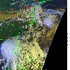
 2006 June 12 11:31 UT
NOAA-15 satellite AVHRR 3 channel color composite morning image.
A closer view (346 Kb) is seen by clicking on this small image.
The maximum sustained winds are 50 mph.
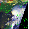 2006 June 12 16:41 UT
NOAA-17 satellite AVHRR 3 channel color composite daytime image.
A closer view (268 Kb) is seen by clicking on this small image.
The maximum sustained winds have increased to 70 mph.
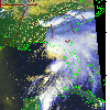 2006 June 12 19:31 UT
NOAA-18 satellite AVHRR 3 channel color composite daytime image.
A closer view (331 Kb) is seen by clicking on this small image.
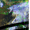 2006 June 12 22:53 UT
NOAA-15 satellite AVHRR 3 channel color composite daytime image.
A closer view (300 Kb) is seen by clicking on this small image.
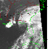 2006 June 13 04:02 UT
NOAA-17 satellite AVHRR channel 4 nighttime image.
A closer view (257 Kb) is seen by clicking on this small image.
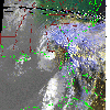 2006 June 13 11:09 UT
NOAA-15 satellite AVHRR 3 channel color composite morning image.
A closer view (299 Kb) is seen by clicking on this small image.
The maximum sustained winds have decreased to 65 mph.
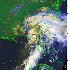 2006 June 13 16:18 UT
NOAA-17 satellite AVHRR 3 channel color composite daytime image.
A closer view (334 Kb) is seen by clicking on this small image.
Alberto has made landfall in Florida and the maximum sustained winds
have decreased to 50 mph.
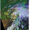 2006 June 13 22:29 UT
NOAA-15 satellite AVHRR 3 channel color composite afternoon image.
A closer view (317 Kb) is seen by clicking on this small image.
The maximum sustained winds have decreased to 40 mph.
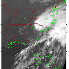 2006 June 14 07:43 UT
NOAA-18 satellite AVHRR channel 4 nighttime image.
A closer view (263 Kb) is seen by clicking on this small image.
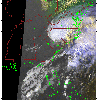 2006 June 14 10:44 UT
NOAA-15 satellite AVHRR 3 channel color composite morning image.
A closer view (248 Kb) is seen by clicking on this small image.
The maximum sustained winds have decreased to 35 mph.