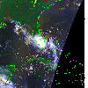
 2010 July 23 14:55 UT
NOAA-17 satellite AVHRR 3 channel color composite daytime image.
A closer view (247 Kb) is seen by clicking on this small image.
The maximum sustained winds are 40 mph.
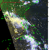 2010 July 23 21:11 UT
NOAA-15 satellite AVHRR 3 channel color composite daytime image.
A closer view (289 Kb) is seen by clicking on this small image.
The maximum sustained winds have decreased to 35 mph.
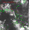 2010 July 24 02:16 UT
NOAA-17 satellite AVHRR channel 4 nighttime image.
A closer view (287 Kb) is seen by clicking on this small image.
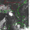 2010 July 24 07:52 UT
NOAA-18 satellite AVHRR channel 4 nighttime image.
A closer view (270 Kb) is seen by clicking on this small image.
 2010 July 24 11:08 UT
NOAA-15 satellite AVHRR channel 4 early morning image.
A closer view (188 Kb) is seen by clicking on this small image.
 2010 July 24 22:29 UT
NOAA-15 satellite AVHRR 3 channel color composite daytime image.
A closer view (300 Kb) is seen by clicking on this small image.
The maximum sustained winds have decreased to 30 mph.