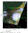
 2016 August 31 12:50 UT
NOAA-18 satellite AVHRR 3 channel color composite daytime image.
A closer view (223 Kb) is seen by clicking on this small image.
The maximum sustained winds are 40 mph.
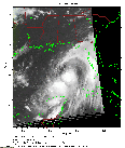 2016 September 1 00:18 UT
NOAA-18 satellite AVHRR channel 4 nighttime image.
A closer view (209 Kb) is seen by clicking on this small image.
The maximum sustained winds have increased to 50 mph.
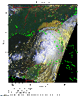 2016 September 1 12:38 UT
NOAA-18 satellite AVHRR 3 channel color composite daytime image.
A closer view (303 Kb) is seen by clicking on this small image.
The maximum sustained winds have increased to 65 mph.
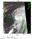 2016 September 2 00:06 UT
NOAA-18 satellite AVHRR channel 4 nighttime image.
A closer view (237 Kb) is seen by clicking on this small image.
The maximum sustained winds have increased to 80 mph. Hermine is now a hurricane. Note the well-defined eye as it approaches the Gulf coast of Florida.
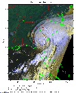 2016 September 02 12:27 UT
NOAA-18 satellite AVHRR 3 channel color composite daytime image.
A closer view (314 Kb) is seen by clicking on this small image.
The maximum sustained winds have decreased to 60 mph.
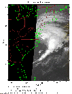 2016 September 3 10:35 UT
NOAA-18 satellite AVHRR channel 4 nighttime image.
A closer view (173 Kb) is seen by clicking on this small image.
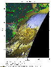 2016 September 04 12:03 UT
NOAA-18 satellite AVHRR 3 channel color composite daytime image.
A closer view (260 Kb) is seen by clicking on this small image.
The maximum sustained winds are 65 mph.
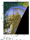 2016 September 05 11:52 UT
NOAA-18 satellite AVHRR 3 channel color composite daytime image.
A closer view (272 Kb) is seen by clicking on this small image.
The maximum sustained winds are 70 mph.
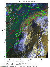 2016 September 06 11:40 UT
NOAA-18 satellite AVHRR 3 channel color composite daytime image.
A closer view (342 Kb) is seen by clicking on this small image.
The maximum sustained winds are 65 mph.