|
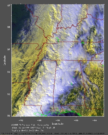
Southeast US on Nov 7, 1996
In this image, the warmer (and lower) clouds are yellow. The cooler (and higher) clouds are white. | |
| This image shows a strong cold front crossing the southeastern U.S. The low sun angle this time of year enhances the three-dimensional appearance of the clouds in this satellite image. The colder dryer polar air mass is encroaching on the warmer moist air mass typically present over the southeastern U.S. The convergence along the front leads to rising air and the development of numerous cumulonimbus clouds embedded among the stratus and stratocumulus clouds along this front. The air is very unstable with severe thunderstorms. A very large view (980 Kb) is also available. |
To return to the index page, click here |
