Wind
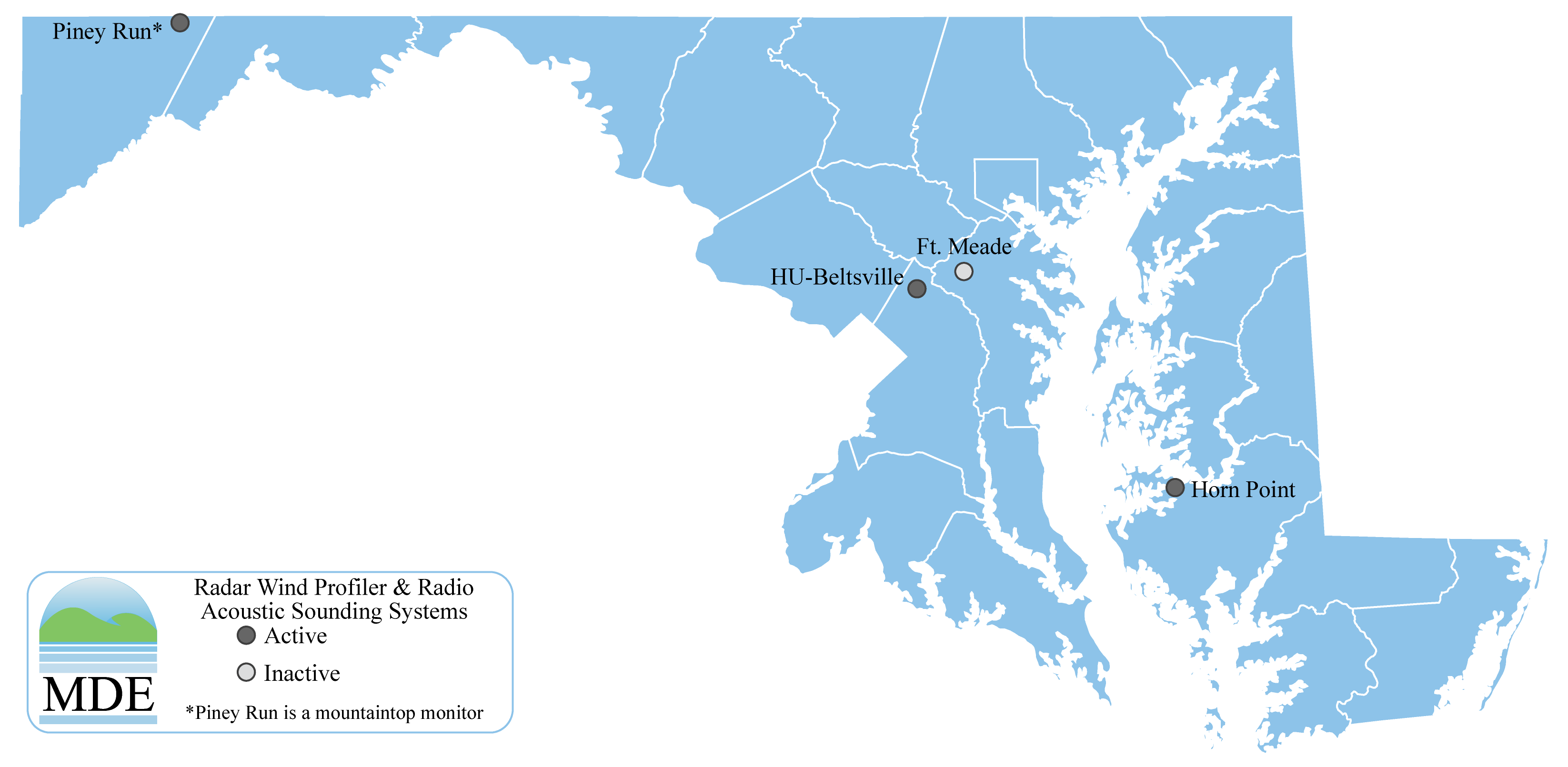
Maryland has three active wind profilers shown below. Piney Run just northwest of Frostburg, HU-Beltsville in Beltsville, MD, and Horn Point just west of Cambridge, MD. Here we discuss the average wind profiles at the three stations.
The plots below show the average wind direction 500 to 4000 m above ground level. The direction is based on the north-south and east-west vector components provided by the wind profilers. The lower and upper dashed black line represent sunrise and sunset respectively.
| Altitude | Piney Run | HU-Beltsville | Horn Point |
|---|---|---|---|
| 0.5 km |  |
 |
 |
| 1.0 km |  |
 |
 |
| 1.5 km |  |
 |
 |
| 2.0 km |  |
 |
 |
| 2.5 km |  |
 |
 |
| 3.0 km |  |
 |
 |
| 3.5 km |  |
 |
 |
| 4.0 km |  |
 |
 |
The wind profiler located at Piney Run shows little variation in wind direction monthly and diurnally at all altitudes. The wind is primarily westerly all year long shifting slightly northwest during April and May. The shift is ever so slightly enhanced during dark hours. In June through October there is a slight shift southerly again more pronounced during dark hours. Beltsville shows primarily westerly winds all year except during September and October when the winds come out of the north. There is noticeable diurnal variability in wind direction in April and May with southwesterly winds during dark hours becoming westerly closer to noon with an increasing southerly component into the dark hours. This variability is noticeable through the 2 km bin. In October northerly winds during dark hours become northwesterly during daylight hours, again only observed through 2 km. The Horn Point wind profiler has a unique climatology. In December and January we see the westerly winds we would expect in the mid-latitudes. Moving towards March we see a distinct northerly wind profile develop through 1.5 km in altitude. We see the same to a lesser extent in October moving through November. The three distinct wind climatologies is a result of Maryland’s unique geography. Cold air gets trapped on the eastern side of the Appalachian mountains. An area of high pressure at the surface may be positioned to the north of the region and the clockwise flow around the high means the low-level winds coming into the region will have an easterly component. These easterly winds will push up against the east side of the mountain range. Air moving up the mountain range ends up cooling at a greater rate than the dry-adiabatic lapse rate and this causes the upslope flow to slow down allowing the cold air to build up on the eastern slopes. This results in the winds (and cooler temperatures) blowing to the south along the eastern side of the Appalachian’s.
In the case of wind speed, mean scalar wind speed is discussed below. Scalar winds are shown instead of vector-averaged wind speeds as it represents the averages wind speed independent of direction. Vector-averaged speeds will never be larger than the scalar-averaged values and generally are lower. Larger differences will occur with greater wind direction variance. As an extreme example, suppose we had a constant wind from the north at 5 meters per second for 5 minutes followed by a constant wind of 5 meters per second from the south for 5 minutes. If we calculated both the vector and scalar averages for the 10-minute period, the vector-averaged speed would be zero, whereas the scalar-averaged speed would be 5 meters per second.
| Altitude | Piney Run | HU-Beltsville | Horn Point |
|---|---|---|---|
| 0.5 km |  |
 |
 |
| 1.0 km |  |
 |
 |
| 1.5 km |  |
 |
 |
| 2.0 km |  |
 |
 |
| 2.5 km |  |
 |
 |
| 3.0 km |  |
 |
 |
| 3.5 km |  |
 |
 |
| 4.0 km |  |
 |
 |